Cyclone Akvan Peaks as Severe Storm: IMD Drops Very Severe Forecast
Coastal Andhra Pradesh and south Odisha stay under a cyclone warning, but the wind threat has eased while rain and surge warnings remain.
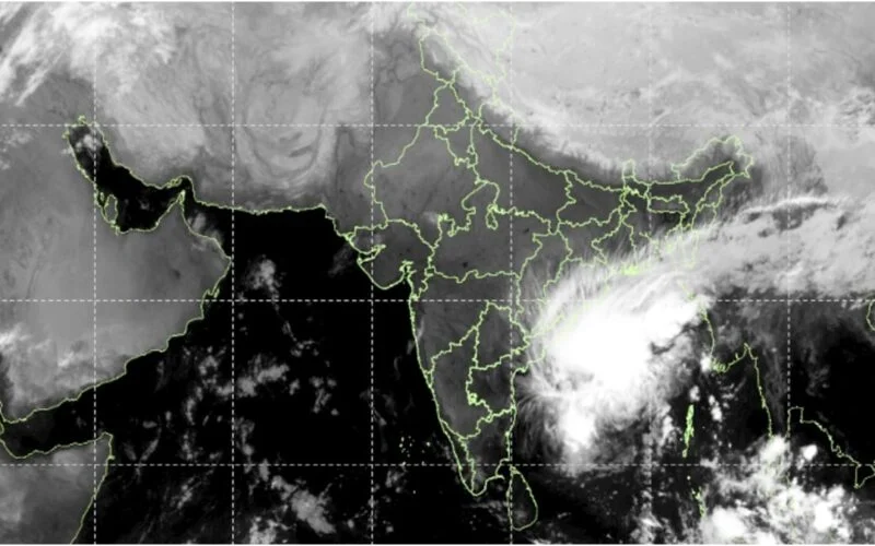
Image: IMD INSAT-3DS via PTI
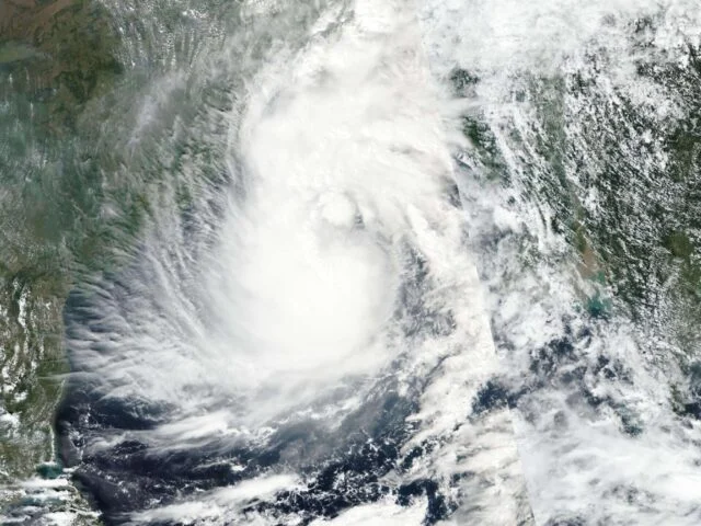
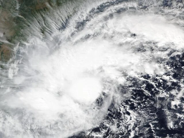
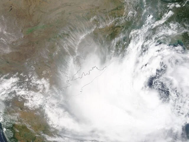
Cyclone Akvan has reached its peak intensity as a severe cyclonic storm over the Bay of Bengal and will not strengthen further, the India Meteorological Department (IMD) said in its 2:30 am bulletin on Thursday, 19 November. The agency had earlier forecast a very severe storm at landfall. It now expects the system to cross the north Andhra Pradesh, Yanam and south Odisha coasts, between Narsapur and Puri, by noon on Friday, 20 November, with winds already forecast to ease, according to the bulletin as reported by The Open Press.
Warnings Stay Even as Winds Ease
At 11:30 pm on Wednesday the storm was centred at 13.9°N, 85.3°E, about 560 km east of Chennai and 600 km south of Gopalpur, moving north at roughly 5 km/h, down from 10 km/h earlier in the evening. Winds were 90 to 100 km/h, gusting to 110 km/h. IMD has kept a red-message cyclone warning in force for the north Andhra, Yanam and south Odisha coasts since 2:30 pm on Wednesday and advises people in coastal huts to move to safer places. Fishermen are told to stay out of the west-central Bay of Bengal until the morning of 21 November.
Surge and Rain Are Still the Risk
A storm surge of 0.5 to 1 metre above the tide is forecast for West Godavari, Konaseema, Kakinada, Visakhapatnam, Vizianagaram and Srikakulam in Andhra Pradesh and for Ganjam and Puri in Odisha. Heavy to very heavy rain is likely at a few places, with isolated extremely heavy rain of 21 cm or more over coastal Andhra Pradesh and south Odisha on 19 and 20 November. Ganjam, Gajapati, Khordha and Puri could get 20 to 30 cm on Thursday. For Odisha, where landslides were the main cause of deaths in Cyclone Arnab, the rain figure matters more than the wind figure.
Also read Cyclone Akvan Landfall: Red Alert in Srikakulam, Vizianagaram
How the Forecast Changed in Three Days
On 17 November IMD’s Chennai centre was still forecasting a very severe storm at landfall, with winds of 120-130 km/h gusting to 145 km/h. The Federal reported on 18 November that IMD no longer expected it to become very severe, while other outlets carried the older figure; IPB’s report on the conflicting forecasts sets out the gap. The 19 November bulletin settles it in favour of the lower figure. IPB has also covered the Andhra storm surge forecast and Odisha’s evacuation plan.
Weakening Expected From Thursday Night
IMD expects winds of 85 to 95 km/h by 11:30 pm on Thursday, a cyclonic storm of 70 to 80 km/h by 11:30 am on Friday, and a depression by Friday night. Rain will continue after landfall. All IPB coverage of the agency’s alerts is under the IMD tag.
Source: Based on IMD National Bulletin No. 27 (issued 2:30 am, 19 November 2026) as reported by The Open Press. Also based on reporting by The Federal and The Week. IPB could not open the IMD PDF directly.
Image: IMD INSAT-3DS satellite image via PTI.